Floyd County
|
Long known as a regional hotspot for mountain arts and culture, Floyd County, like Craig County, is unique in that no water flows into Floyd County, only out of it. The county’s major stream, the Little River, begins in northeastern Floyd County, flowing to the New River and draining all but a small tip of the county that is in the Roanoke River watershed.
Located “up on the mountain,” Floyd County is situated on a high rolling plateau some 1,500 ft. above the neighboring Roanoke Valley. The Blue Ridge Parkway runs along the edge of this plateau, affording long views to the east and the Virginia Piedmont. Humpbacked Buffalo Mountain is the county’s highest and perhaps most distinctive feature at around 3,700 ft. The Crooked Road, Virginia’s music heritage trail, runs through the county, and a popular venue is the Floyd Country Store. The Blue Ridge Land Conservancy protects about 90 acres of land in Floyd County and more than 4.5 miles of streams, mostly with conservation agreements that protect riparian land along the Little River and other streams. |
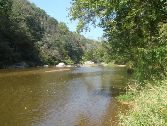
Land protected by the Blue Ridge Land Conservancy along the Little River in Floyd County.
|


